The Winchester countryside;: A guide to the country surrounding Winchester Hardcover – 1947 by Alan Rannie was published by George Allen and Unwin, detailing a series of walks around Winchester and its hinterland. A detailed volume with maps to assist walkers navigate the routes, it did not have the benefit of colour pictures or, latterly, satellite images with measuring facilities available to most.
For want of a suitable starting point, I have chosen to set out from the earth works of Oliver Cromwell’s camp opposite the local shops.
The route strikes out from Olivers Battery; along the main road past the new Winchester Village development, to the traffic lights at the top of Stanmore Lane (0.98miles).
Turn left into Kilham Lane and use the footpath past both ends of Woodfield Drive and into the narrow lane, which emerges at the junction of Sarum Road. This single carriageway is often a busy ‘ rat run ‘ and walkers must keep a careful look-out for traffic. Refuge can be taken in several driveways to allow cars to pass by .
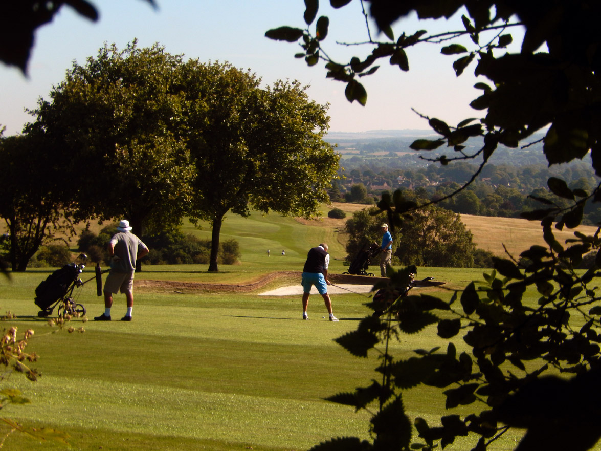
At 1.45 miles, cross over and descend into a metaled part of The Clarendon Way ( to Salisbury ). This undulates its was past the Royal Winchester Golf Club, behind the hedgerows. ( There is no public access along this boundary. The nearest public footpath, accessed from Sarum Road, runs from behind the Clubhouse along the ridge to another path at the top of Hampton Lane), dipping under some trees, to pass stables with grazing horses and the public service masts to the left. Climbing steeply with a long field on the right, to pass by the entrance of PINSENT, Weeke Down ( GIS : SU 452 297 – 51.064N 1.355W ) Scout camp. ( 1.86 miles ).
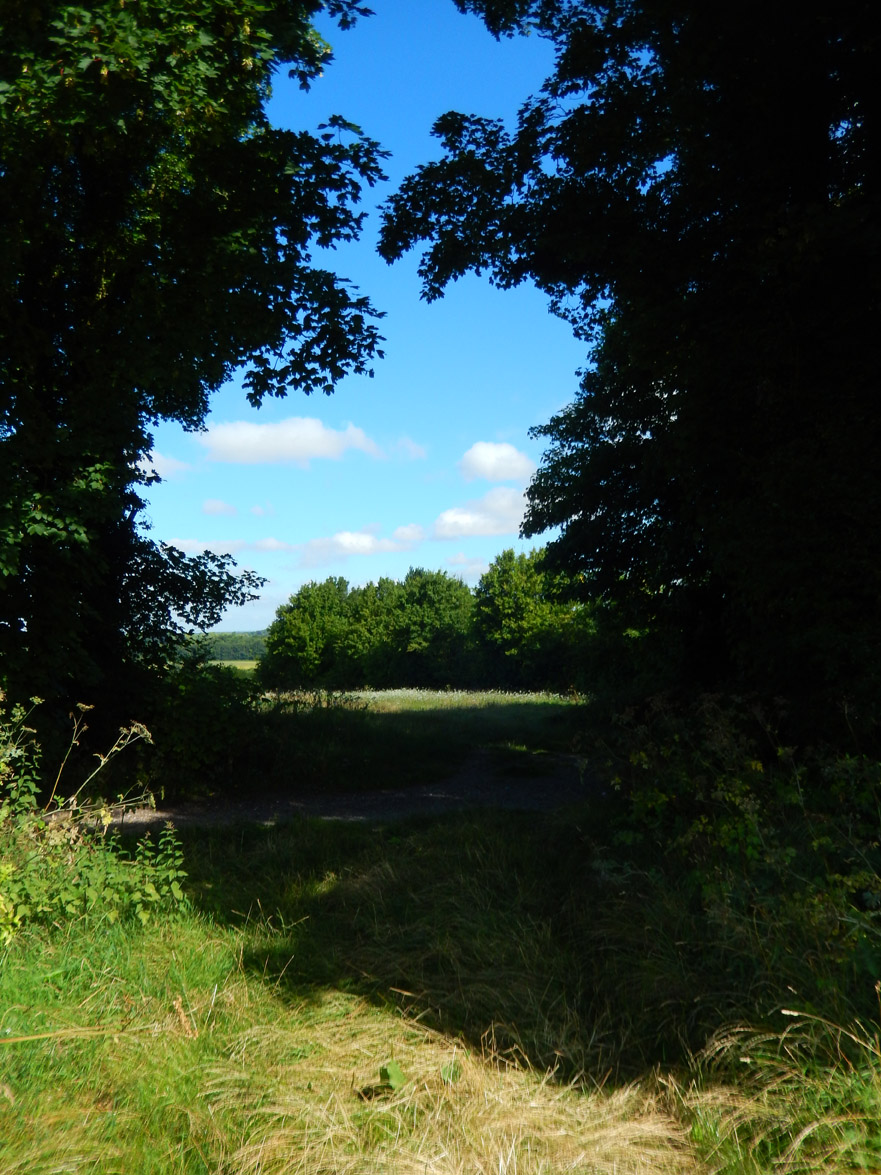
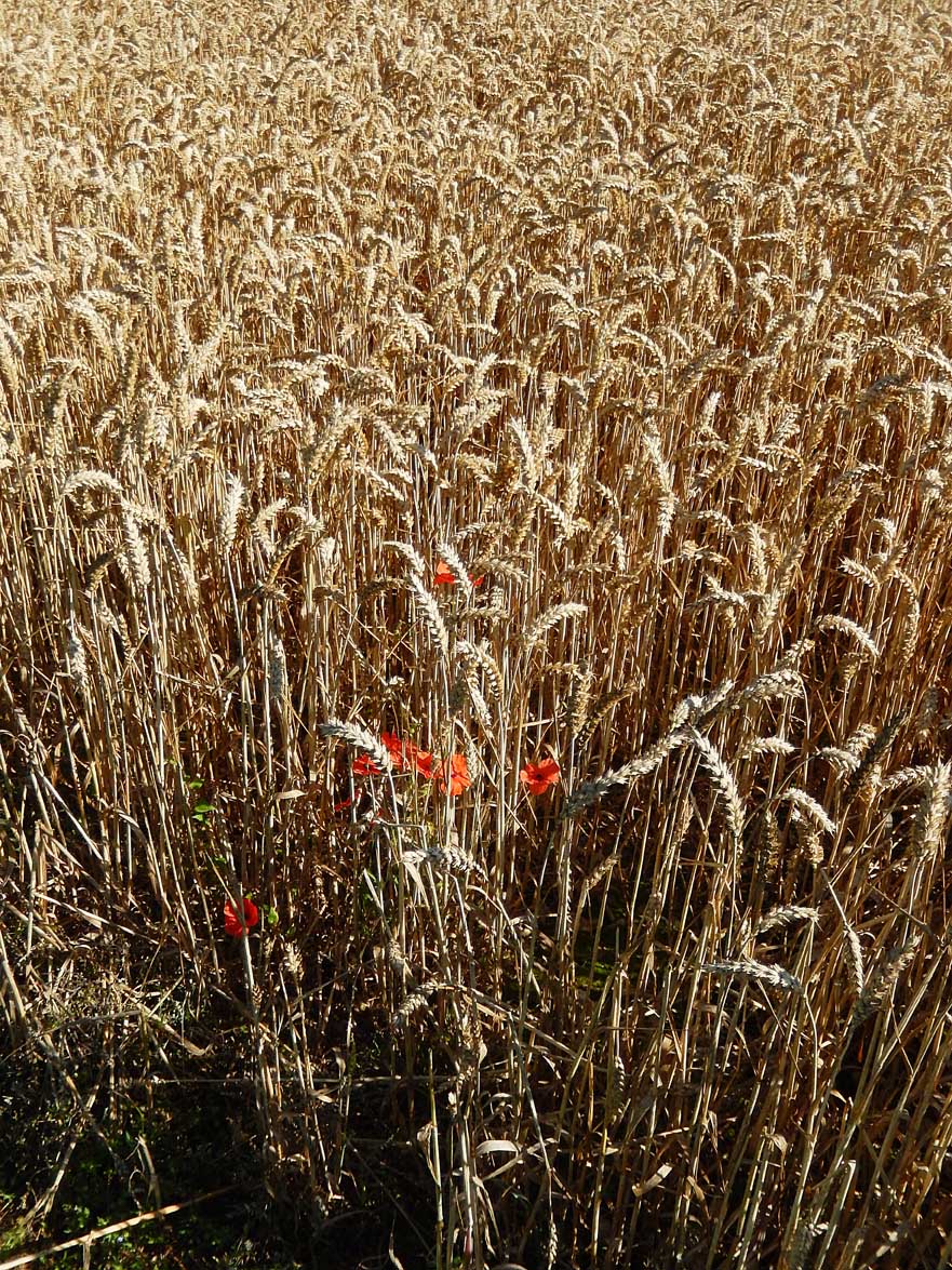
Go through the ‘ green tunnel ‘ through the trees to emerge at a small clearing. The track ahead goes towards Crab Wood and the longer route to Salisbury ( about 18 miles ). Turn right along Pinsent’s western boundary ( 1.97 miles ) and cross diagonally into Lanham Lane, here just a tree covered track ( 2.08 miles ) marking field boundaries. The large field on the right is a wonderful sight in full summer when in crop ( Corn in 2016 ).

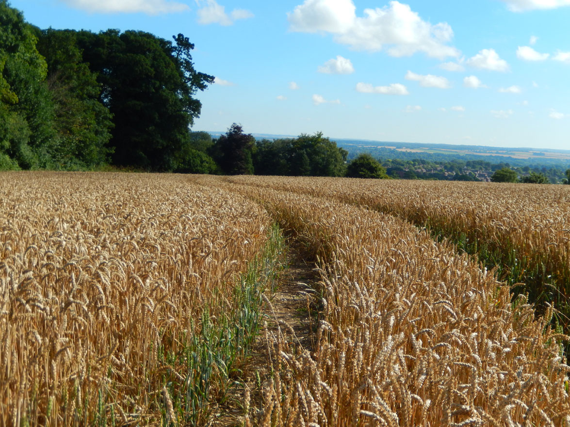
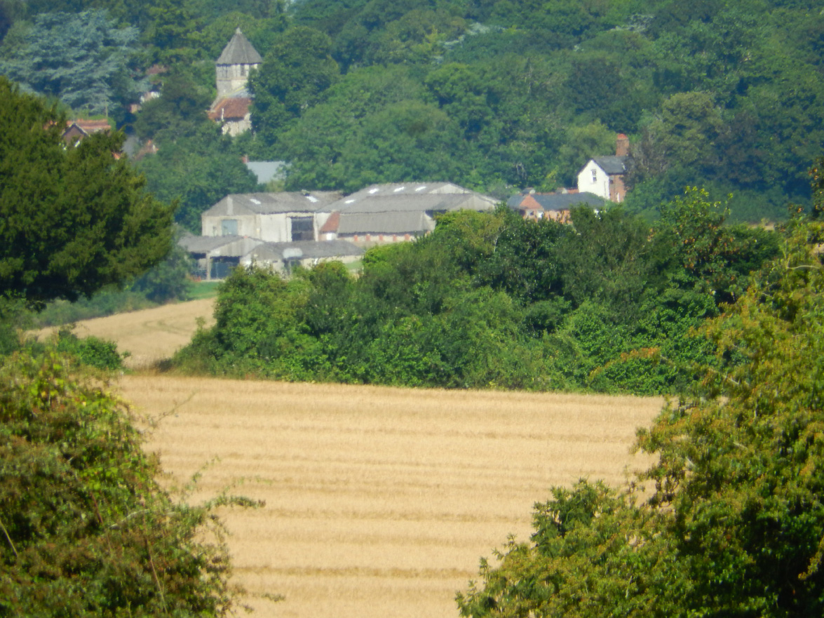
 At the end of the track, pause to enjoy the view across the fields to the village of Sparsholt with its 12th Century St. Stephens Church visible behind the trees..
Continue, along the track, which becomes stony and emerges by a water facility before Tegdown Meads (2.53 miles ) at the edge of the estate built in the early 1960’s. Whilst our route continues along Lane, an alternative route along Tegdown Meads drops down to the beginning of Dean Lane and into Stockbridge Road by Weeke shops.
Dean Lane ( 2.76 miles ) is crossed and into Salters Lane, lined with detached properties on the right and a large open field to the left. It is possible to walk along the road; a path through the trees or along the inside of the field boundary, the end of which is gated.
At the junctions with Stockbridge Road and Harestock Lane, cross over and take the pathway. At a barrier, another route to the right emerges into the semi-circular Fleming Road. Go ahead to emerge at the north end of the dual carriage way at the top of Fromond Road, in Weeke Estate. ( 3.26 miles )
You should now be about half way through the walk in about 90 mimutes ).
 Even here in the pathways which divide Weeke Estate built in the early 1950’s and Harestock built in the 1960’s, signs of the area’s rural past remain. The paths are still lined with brambles, giving opportunities for jam making in the autumn.
When Stoney Lane was just that – a broad stony track, just around the corner on the Stockbridge Road a bull used to look over the low stone wall on the way to Weeke pond. The farm is now occupied by a close of fine detached homes.
On the other side of Fromond Road, the path continues between the estates for about half a mile. The Harestock Junior/Primary school and its field is on the left of the path, behind a chain link fence. Emerge into the corner of Eling Close near a group of garages. ( 3.58 miles ). Shortly, Priors Dean Road divides the developmet and drops down to a parade of shops ( Bakery, Indian Take Away, Fish & Chip ( considered by many to the best on this side of Winchester ), Tesco Express… ) Harestock Garage stands adjacent to a small car park.
Emerge from the path, turn right for a few yards past the entrance of Henry Beaufort School and take the path top the left, through a small housing development at Halls Farm Close and continue along the second part to Andover road 3.84 miles ).Turn right, cross the busy main road and left to walk along the treeline, on the edge of what is at the time of writing ( September 2016 ) of the controversial extensive infill development at Barton Farm. ( 4.10 miles )
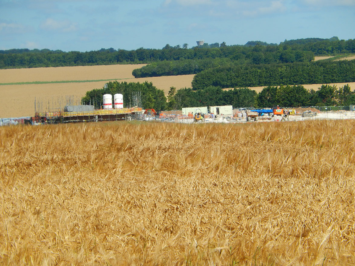 Walking towards the railway line, the first stage of the long resisted development is seen. These large fields have been sold by Winchester College public school in the city, and run from the junction of Harestock Lane and Wellhouse Lane, alongside Andover Road to the boundary the detached houses in Park Road.
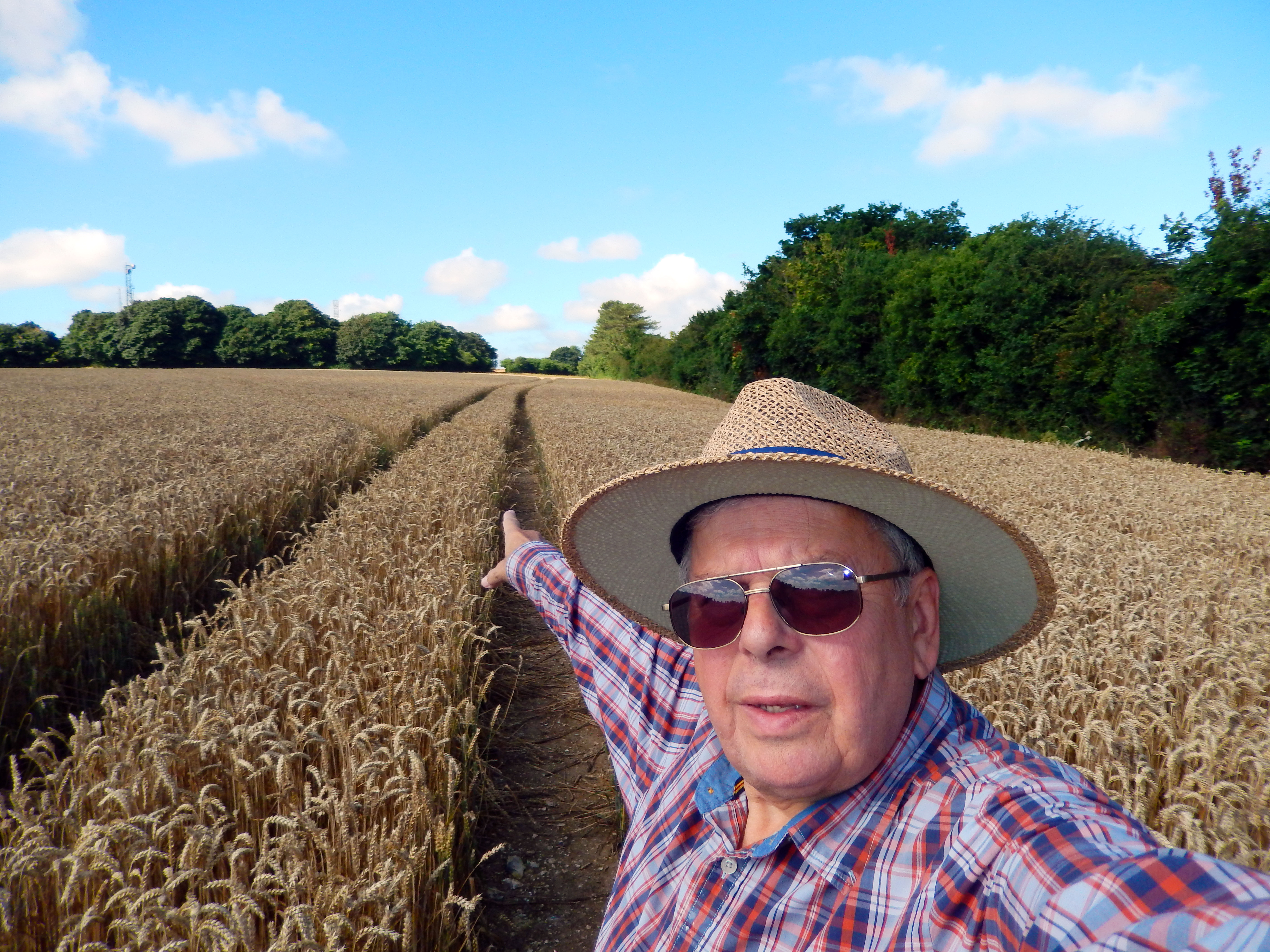
This pretty approach to Winchester, with banks of daffodils bordering the road, afforded the first breath of the countryside. The ripening crops were a delightful sight in late summer, soon to replaced with bricks and mortar. Logically it is almost the last open quadrant of land within the Winchester City boundary and as such a strong candidate for development, although resisted for many years.
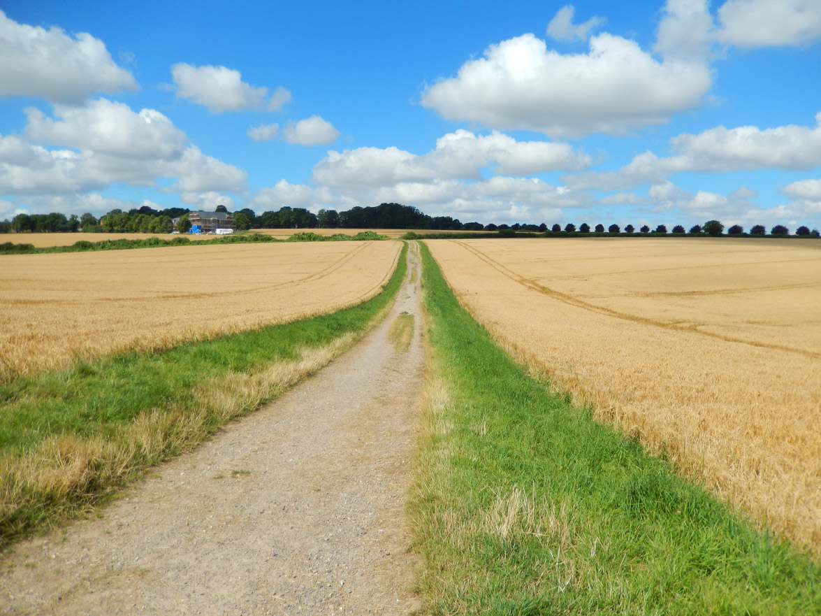 The View from the foot of the railway embankment across to as yet open fields towards Andover Road.
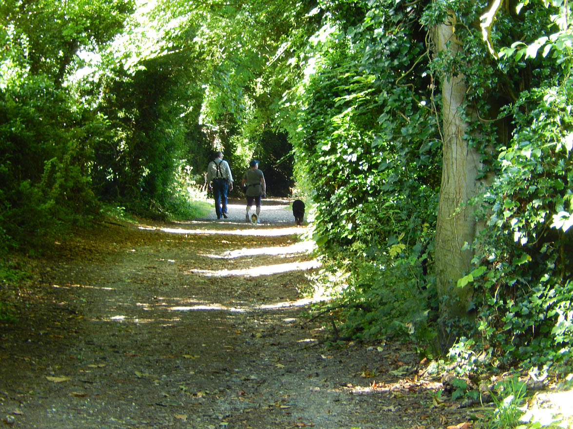
You may continue on either side of the trees, or on a path through them. Watch out for signs of dog walking ! The southern side of the trees, affords a vista towards the railway line, which until a tragic fatal accident, could be crossed to continue down the bank on the other side, quickly descending down into Wellhouse Lane at Green Close Cottages.
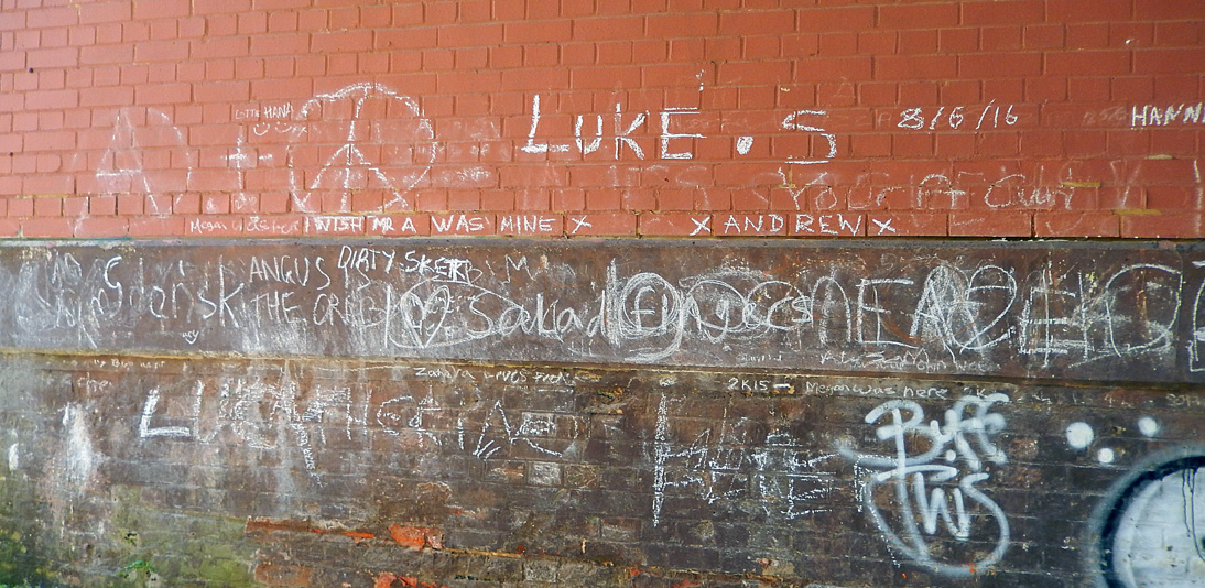
At the edge of the field several tracks converge ( 4.29 miles ) and follow the diverted track down the side of the embankment, to track, presumably a future street junction, and pass under the low railway bridge, with it’s graffiti. ( 4.70 miles ).
Climb the path in front ( another follows the other side of the railway to the point of the former track crossing ) and walk to the edge of a row of trees, turning right along the edge of open land to the end of Coventry Road and into Stoke Road. Watch out for the trains at eye level.
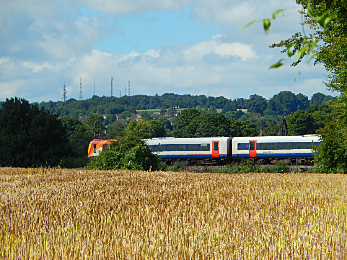 South West train service.
At Worthy Road, cross over and turn left ( 5.14 miles ) to the end of Dyson Drive. At the end of Chaundler Road, you will see some blue direction signs , showing a welcome 1 mile to Winchester !
 Turn right and follow the road through Abbots Barton. On the way, in summer is a colourful display of flowers in the gardens of the houses on your right. ( 5.31 miles ).
Continue via Hillier Road / Oglander Road ( 5.52 miles ); At the end of the road you can continue over the river to a) go via the rugby club and the playing field on you left; or b) Nuns Walk with river ( 5.52 miles ) on you right to Nuns Road (5.77 miles ). Turning left, you reach the Recreation Ground ( 5.88 miles ).
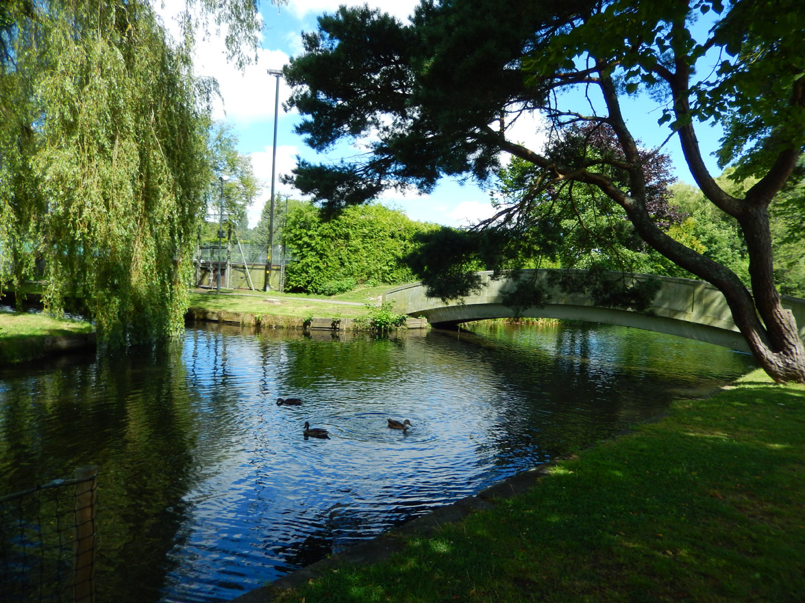
Carefully cross the cricket field ( not the pitch ) or go along the road to cross the River Itchen by the yellow bridge (6.06 miles ). Its a lovely spot to pause and watch the ducks feeding. If you are really weary and can face the stairs in the Recreation Centre, refreshment are at hand in the Café there.
Almost there ! Park Avenue ( 6.16 miles ), leads to the pedestrian crossing at North Walls (6.26 miles ). Finally, Middle Brook Street leads to the crossing at Friarsgate (6.39 miles ) and the High Street between the Sainsburys and Marks and Spencer stores. You are now in the High Street. King Alfred’s statue, erected in 1901 can be seen in the Broadway a little further on.
This is the end of the walk and should take 3 and a half hours at a steady pace with a few pauses to take in the views.
Copyright Tony Knight September 2016